
The need to capture the current reality
The executive reveals that within the framework of the studies carried out by the company, background information was required in order to develop them and -in some cases- the client did not have this information available for them to be able to move forward with the work.
In addition, on some occasions, modifications are carried out in the production plants that are not registered, which is why the need arises to capture the current reality through different types of sensors, such as drones or scanners.
“Many plants have 2D plans and, since everything is now in 3D, it is imperative to update them. For this purpose, scanners and drones are the ideal tools to create as-built drawings and meet our clients’ requirements,” he says.
Complementary to specialized engineering
Neira clarifies that Syntec does not intend to disassociate itself from its core business. “On the contrary, the objective is for the Surveying area to be complementary to maintain our focus on project consulting and specialized engineering,” he explains.
He says that the crucial aspect here is what they are able to deliver as a company, thanks to the high degree of specialization of their professionals. “The new tools we acquire add to the service, but the key is in the engineers who master their use and make the most of them, achieving great precision,” he emphasizes.
In that sense, Carlos Rodríguez, Surveyor Leader at Syntec, states that this type of experts intervene in many areas of mining. “This because finally, everything needs coordinates,” he adds.
Before, during and after
What is the range of action of Surveying? “Before, during and after an engineering project,” answers Rodriguez.
He explains that in pre-engineering he is present in field surveys and interference analysis, which consists of anticipating difficulties in the design of a plant. Or in reverse engineering, when dealing with mechanical parts.
In the engineering stage, Surveying is key in the interventions during the development of the project. While at the maintenance level, its role is fundamental in the wear and tear measurements of a piece of equipment or a sector of a plant, or in terms of settlements, among other aspects. “In particular, it is very useful for making strategic decisions, for example, whether to change a critical part or not,” says Rodríguez.
Tailor-made service
Neira adds that the Surveying Service they provide is tailor-made and that Syntec is present when the optimization of production processes is required. Particularly to make up for the lack of information. “It is a sweep of information that generates the current state. A complete As Built,” he explains.
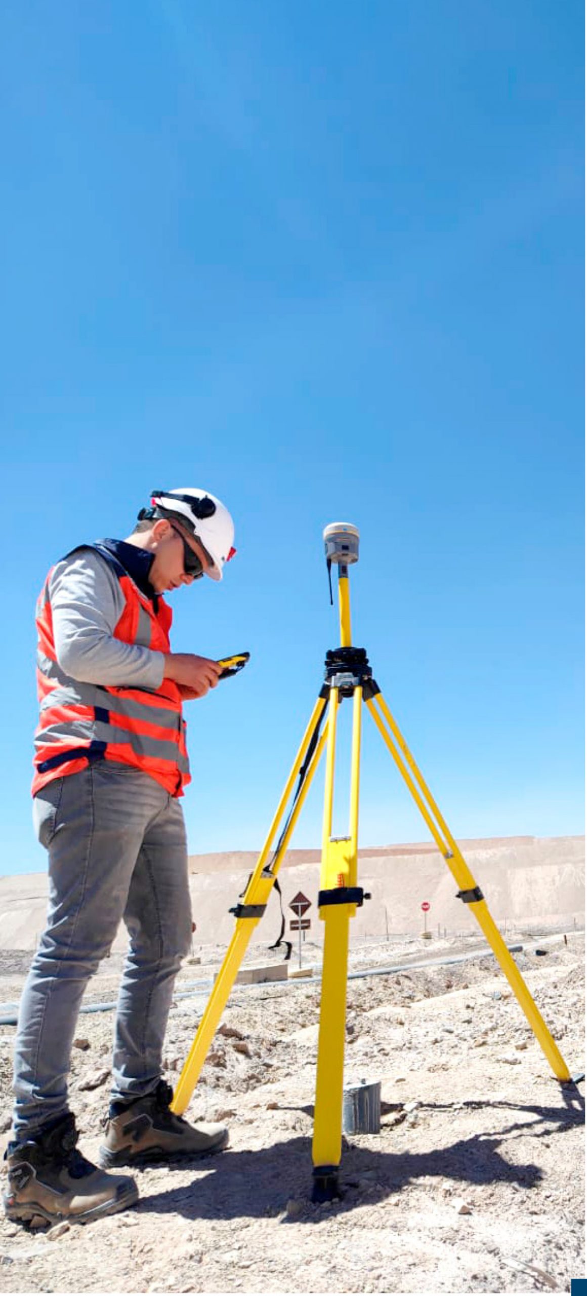
Regarding the technologies, capabilities and advantages available to the firm, GNSS equipment and Total Stations allow the generation of geodetic networks and surveys that provide the necessary information to position projects in space. This, always depending on the coordinate system requested by the client.
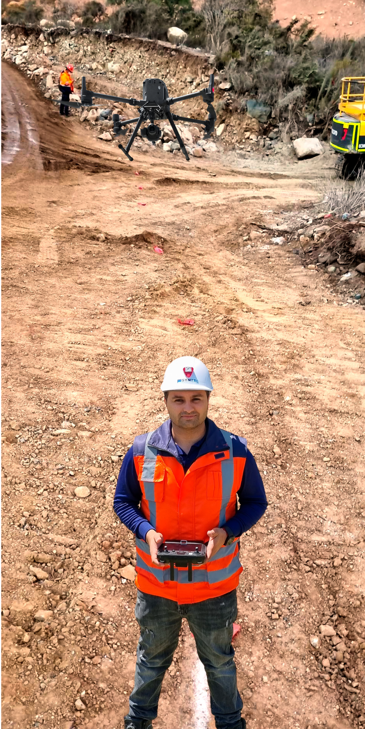
In specific terms, the drone generates a survey of kilometric extensions, that is to say, the range is the great advantage of this equipment. The deliverables obtained from this tool are topographic, point cloud and photogrammetric.
Increased access and savings of time and resources
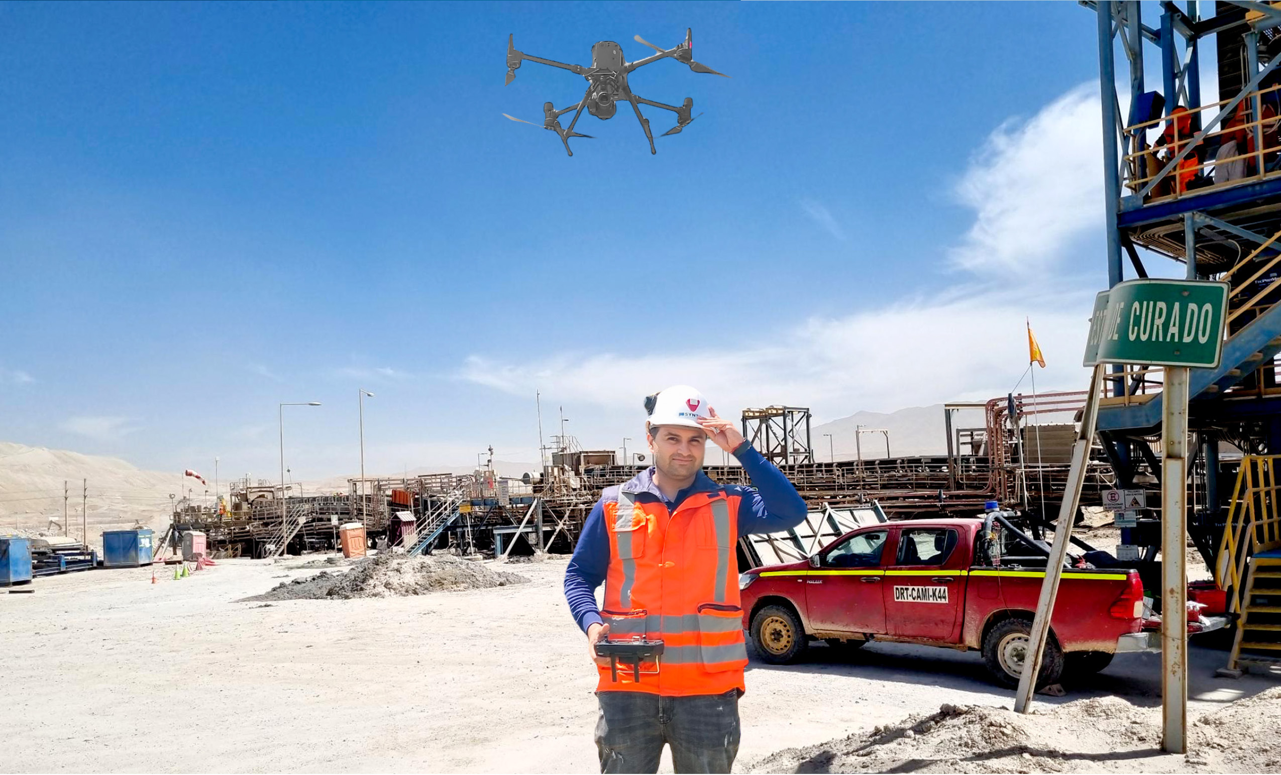
Allan Leyton, Surveyor Engineer at Syntec, explains that “the drone is a piece of equipment that can be used for all types of topographic surveys and can be complemented with laser scanners. It facilitates the collection of information in places where there is no human traffic”.
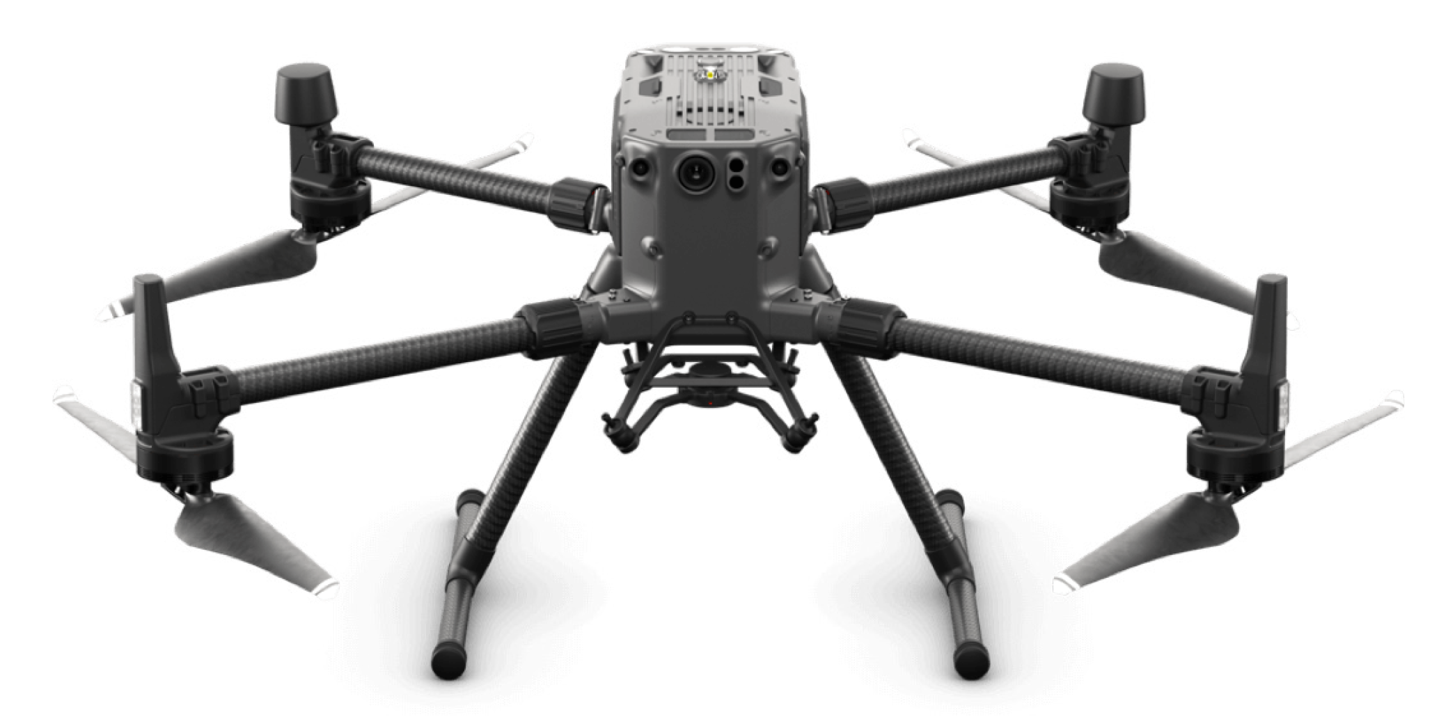
He points out that Syntec has one of the most sophisticated equipment on the market in the industrial field. This is the Matrice 300 RTK drone, from DJI, which allows remote mapping work to be carried out with a saving of time and resources, providing high quality and accurate data thanks to its DJI RTK antenna.
“The market is broad and varied in this type of technology, since it meets the requirements to deliver a fast and accurate response to customer needs. In general terms, we offer this type of service to any engineering project in the production industry,” concludes Mario Neira.
Deliverables for all industries
Through its Surveying Department, Syntec provides records of plant expansion, updating of plans, As Built plans, Scan to BIM, cubing, interferences and wear and tear.
These solutions are especially aimed at the mining, forestry, agribusiness, metal mechanics and oil & gas industries, among others.